Can a President Rename a Lake? The Politics Behind “Lake America”

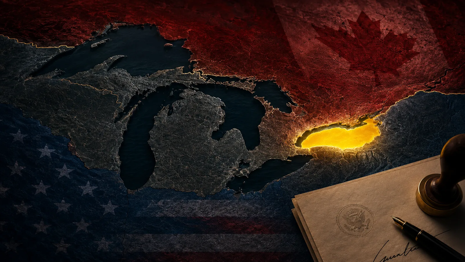
On August 27, 2026, U.S. President Donald Trump signed an executive order directing the federal government to rename Lake Ontario as “Lake America.” What might sound like a simple change on a map immediately became an international controversy, because Lake Ontario is not entirely American. It is one of North America’s five Great Lakes, shared by the United States and Canada, with New York on one side and the Canadian province of Ontario on the other.
The decision raises a surprisingly complicated question: can one country simply rename a geographic feature that it shares with another country? The answer is both yes and no.
The United States has the authority to determine which geographic names its own federal agencies use. Trump’s order instructs the Department of the Interior to update federal geographic naming systems within 30 days. Once implemented, U.S. federal maps, documents, databases and government communications can officially refer to the lake as “Lake America.”
But that authority ends at the border. The United States cannot require Canada, international organizations, mapmakers, publishers or foreign governments to adopt the new name. Canada can continue calling it Lake Ontario, and Canadian Prime Minister Mark Carney has made clear that his government intends to do exactly that. Even within the United States, state governments and private companies are not necessarily required to follow the federal naming decision. New York Governor Kathy Hochul has already said that New York will not use the new name.
This is what makes the controversy about much more than geography.
The name “Ontario” existed long before either the modern United States or Canada. It has Indigenous linguistic roots and has been associated with the region for centuries. Canadian officials and Indigenous leaders have therefore argued that replacing the name is not simply administrative. To them, it touches a much older history of language, culture and identity.
Place names often appear neutral because we see them printed on maps from childhood. But maps are full of political history. Cities, countries, mountains, rivers and seas have repeatedly been renamed following independence, war, regime change or shifts in national identity. Bombay became Mumbai. Ceylon became Sri Lanka. Constantinople eventually became Istanbul. Persia formally requested that foreign governments use the name Iran. Names change because governments change, societies change and the stories countries want to tell about themselves change.
In that sense, maps do not merely describe the world. They also reveal who has the power to name it.
The timing of the Lake Ontario decision makes the story even more politically significant. The United States and Canada are currently involved in a serious trade dispute. Recent negotiations collapsed, both countries have imposed major tariffs, and the relationship between two historically close allies has become increasingly confrontational. Reuters reported that the renaming came amid this broader deterioration in U.S.-Canada relations.
Trump has said the change recognizes the lake’s importance to the United States and has accused Canada of treating the country unfairly in trade. Canadian leaders, meanwhile, have described the move as unnecessary and provocative. The disagreement demonstrates how something as apparently harmless as the name of a lake can become a symbol of a much larger political conflict.
There is also a modern complication that previous generations never had to consider: digital maps.
A century ago, changing a geographic name meant updating government records, atlases, textbooks and signs. Today, millions of people experience geography through Google Maps, Apple Maps and other digital platforms. Those companies can decide which names appear to users in different countries.
We have already seen this happen. After the U.S. government renamed the Gulf of Mexico as the “Gulf of America” for federal purposes, Google Maps displayed different labels depending on a user’s location. American users saw “Gulf of America,” Mexican users continued to see “Gulf of Mexico,” while users elsewhere could see both names. The same kind of split could eventually happen with Lake Ontario.
MapQuest has already announced that it does not intend to replace “Lake Ontario” with “Lake America.” That is an important reminder that a government can control its own terminology without automatically controlling the language used by private mapping companies or the rest of the world.
It creates a strange possibility: someone in New York and someone in Toronto could eventually open a map, look at exactly the same body of water, and see two different names.
The water has not changed. The shoreline has not moved. The international border remains where it was. Only the label has changed.
Yet labels matter because people use them to organize history, identity and belonging. A place name can preserve the memory of an Indigenous language, celebrate a national figure, reflect a colonial past or represent a modern political ambition. That is why arguments over names often become far more emotional than their practical importance might suggest.
Trump’s executive order may succeed in making “Lake America” an official federal name inside the United States. It cannot, however, erase “Lake Ontario” from Canadian maps, historical records or everyday language simply by decree.
And perhaps that is the most interesting lesson in this controversy.
Governments can change what is written on their maps. They can change databases, signs and official documents. But geography has another layer that is much harder to control: memory.
A name that has survived for centuries belongs not only to governments, but also to the generations of people who have used it.
The politics of maps, it turns out, is rarely just about maps.
Comments (0)
No comments yet
Be the first to share your thoughts
Log in to leave a comment.